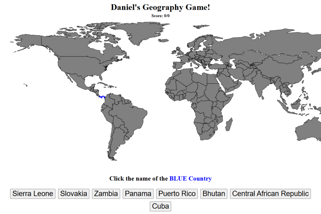
Daniel really likes maps, so I made him a little game for learning countries. It highlights a country in blue, gives him some names to choose from, and keeps track of how many answers he gets right.
The map is SVG, which makes the browser do a lot of the useful work. Each country is a path with an ID, so JavaScript can pick one and change its fill color without redrawing an entire image. Each round builds up to eight choices and chooses the highlighted country from that group.
A correct answer turns the country green and removes it from the remaining pool. A wrong answer shows the right name and uses different colors for the target and the country guessed. It is all client-side HTML and JavaScript. I like using a real vector map for this: the shapes are not just a picture behind the game; they are the actual pieces the code can work with.